Q&A: Studying the ‘hidden carbon’ locked up in underground biomass
Recent seed grant recipient Robert Washington-Allen repurposes emerging technologies for ecology, including a new project to image the unseen root systems of dryland habitats.
By Amanda Heidt
May 2024
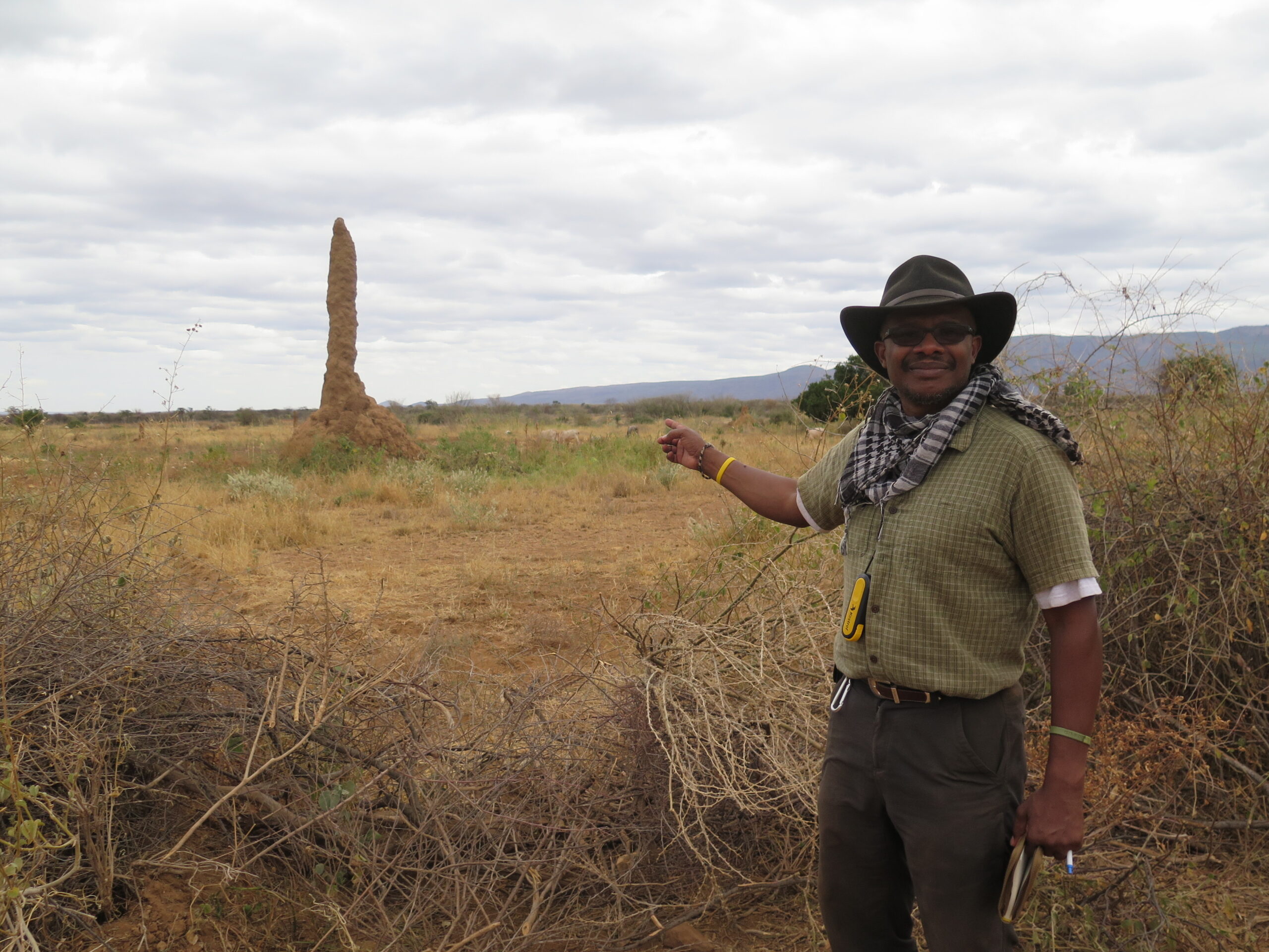
Robert Washington-Allen, HDRFS 2023-2024 seed grant recipient.
Researchers at this year’s HDRFS meeting rolled out dozens of cutting-edge tools being leveraged to image and analyze sagebrush ecosystems and the fires that consume them. From drones armed with LiDAR that can parse plant species to remote sensors that produce three-dimensional models of smoke plumes, it seems there’s almost no part of a landscape we can’t render in a rainbow of spectral colors.
But only one person, University of Nevada, Reno, drylands ecologist Robert Washington-Allen, drew the audience’s attention to an invisible component of the dryland habitat that has largely evaded detection by modern tools: the underground system of living roots that make up a plant’s below-ground biomass. While below-ground biomass accounts for roughly 25% of a plant’s total biomass on average, in some cases, that number can stretch as high as 80%, Washington-Allen says, and it’s in these roots that plants store the majority of their carbon. Failing to account for below-ground biomass risks vastly underestimating the role that dryland ecosystems play in global carbon storage and climate change.
Washington-Allen was recently awarded a $30,000 HDRFS seed grant to pursue novel strategies for imaging below-ground biomass, a task he says he feels uniquely suited to address. Below, he talks more about his work and future plans.
You refer to yourself as a dryland ecologist, but your lab focuses on environmental tomography and emerging technologies. What does that mean, and how do you approach your work?
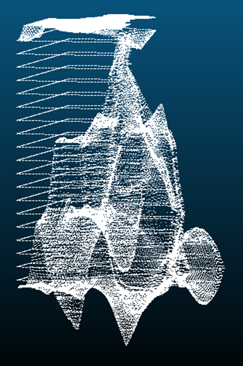
Tomography of Sorghum Roots (Credit: Robert Washington-Allen)
Tomography is the application of measurable 3D imaging—things like the ultrasounds that are used for pregnancies—and in our case we have repurposed emerging technologies in architecture (ground LiDAR or terrestrial laser scanning (TLS)) and construction (ground penetrating radar (GPR)) and used them to address ecological and agricultural questions in drylands, including the virtual imaging of above- and below-ground environments.
This all stems from an experience I had in 1998, when I went to a remote sensing meeting in DC. As I was coming down the stairs to the vendor hall, this green laser beam went flashing past me and just kept going back and forth. I got down to the bottom and there was the sensor and a computer screen showing the pipeworks. A company called Cyra had developed it on a grant from Chevron to scan oil refineries for leaks. But there was a picture on the table of a scan of a treehouse. And all I could see was detail like you wouldn’t believe—you could see the individual leaves on the tree. I immediately thought of all the useful metrics you could generate.
How are you using these emerging technologies to study below-ground biomass?
We can do a lot of the same things for below the ground as above. With ground-penetrating radar, you can generate a point cloud of what’s below. So we’re combining the terrestrial laser scanner with the ground penetrating radar and creating something that’s fully three dimensional.
Why is it important to include this below-ground biomass component in scientific research?
One of the big things with climate change has been tracking carbon. When people are doing the global mass balance, they identify emissions sources, but they also identify sources of storage. It doesn’t all come out even, and so we’ve settled on this idea of missing carbon—we know there’s more, but we don’t know where it is.
When people were doing their global climate change models, they came back and said it’s probably in drylands, and it’s probably below ground in the roots and in the soil. And the question was how much? Drylands are understudied systems for carbon dynamics, and that has set us up for surprises. In the past, when people have looked at a dryland forest system, they found that the carbon dynamics are comparable to a deciduous forest.
Also, there are these allometric equations in modeling that make assumptions that if you know what’s above ground, you can predict what’s below ground. But even that breaks down in dryland systems. For instance, if you look at studies where people have done a complete harvest of sagebrush, what you find is that most of the biomass is above ground. But if you look at some of the other grasses or shrubs, you get a flip.
What are some future areas you’re interested in exploring?
The question we’ve ended up coming back to is how can we study below-ground biomass at the landscape scale, which hasn’t been done. But we can now link our ground penetrating radar to satellite radar systems that have similar frequency ranges, and you can impute the data, which is what many machine learning models are doing. So basically getting ground penetrating radar from a satellite.
From that, you can generate a lot of interesting metrics, including the water content within the roots. There’s a really nice study that was done in Mexico where they looked at a pine and an oak species and showed their niche separation. They injected water and they ran the ground penetrating radar, and they could see the water uptake into the different plants. That’s one of the things I’ve been running through with my students. We’re teaching them remote sensing and dryland ecology and now we’re applying these technologies.
 Acknowledgement: This material is based upon work supported by the National Science Foundation under Grant No. OIA- 2148788.