HDRFS Research Team Assesses Impacts and Launches Post-Fire Monitoring Following Bug Fire
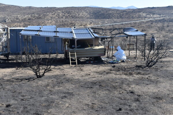
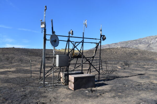
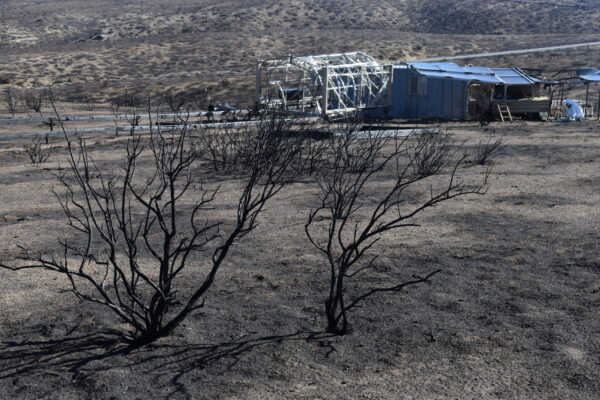
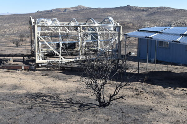
In August 2026, the Bug Fire burned through the Harnessing the Data Revolution for Fire Science (HDRFS) research site off Red Rock Road (RRR2), located roughly 30 miles north of Reno on Bureau of Land Management (BLM) land. Developed as a collaborative outdoor wildfire laboratory by the Desert Research Institute (DRI), the University of Nevada, Reno (UNR), and the University of Nevada, Las Vegas (UNLV), the site supports critical research funded by the National Science Foundation’s Established Program to Stimulate Competitive Research (EPSCoR) under its RII Track-1 program. Thankfully, no injuries occurred during the incident.
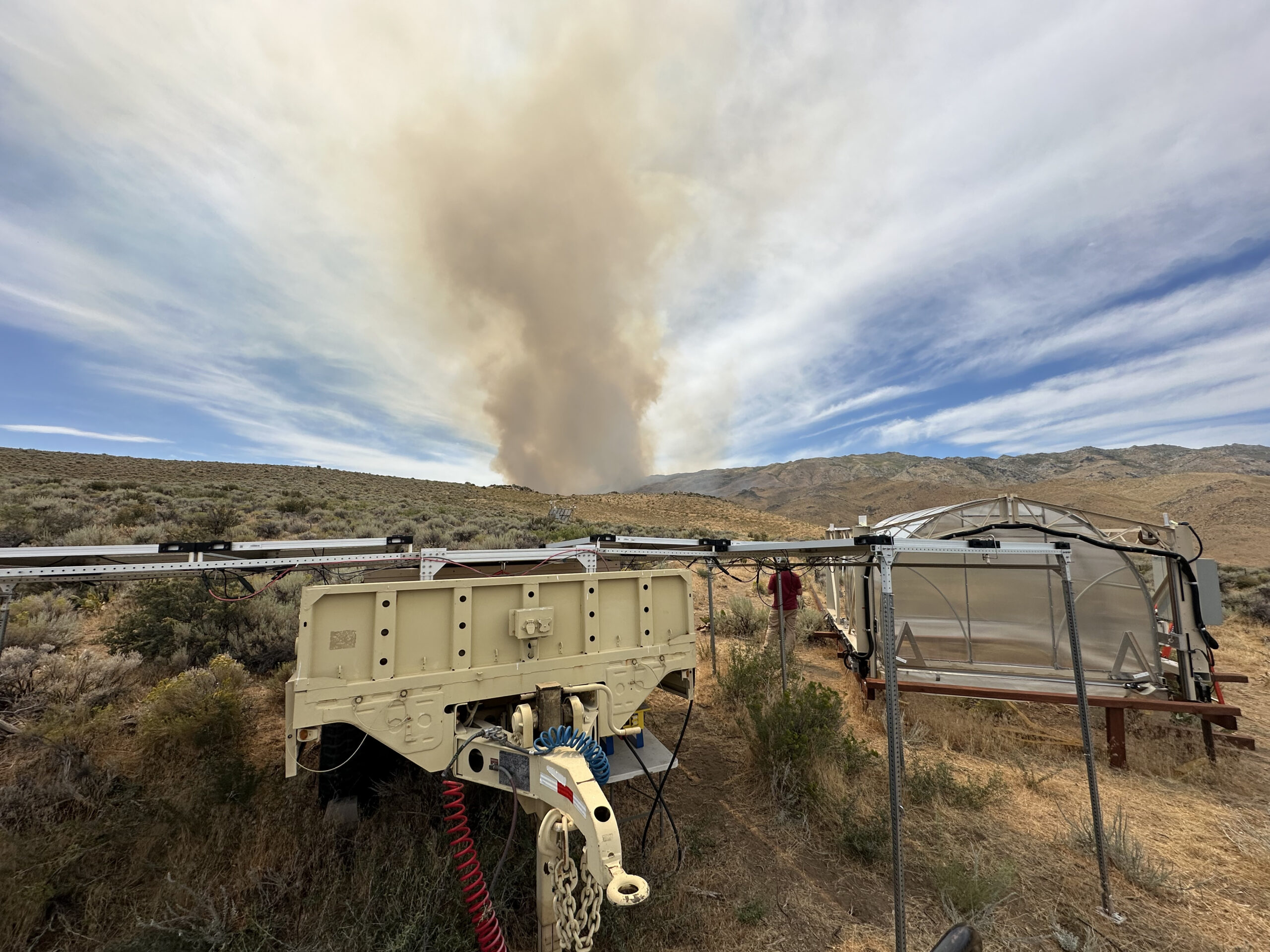
Smoke from the approaching Bug Fire behind the RRR2 research site in August 2026, moments before the wildfire reached the project’s monitoring infrastructure. Credit: Nic Beres.
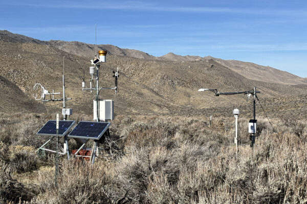
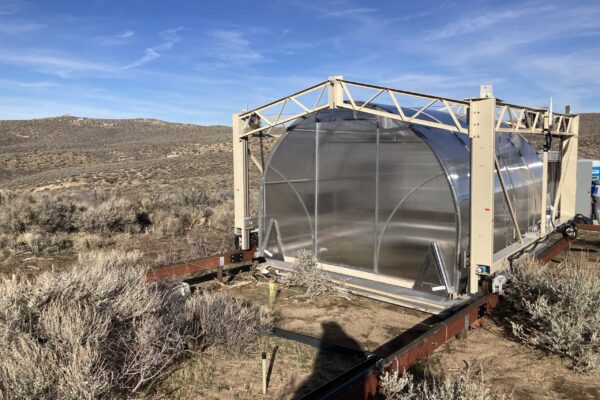
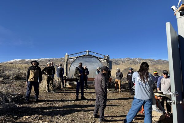
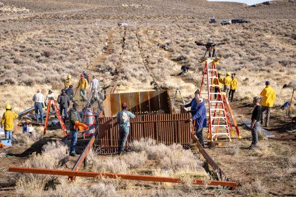
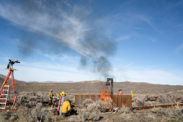
HDRFS researchers gathered at the RRR2 field site in November 2025 to conduct controlled burn experiments, a major project milestone. Credit: Maureen Saccomani and DRI.
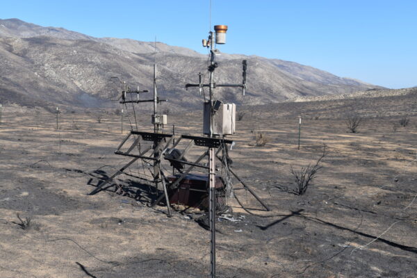
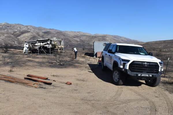
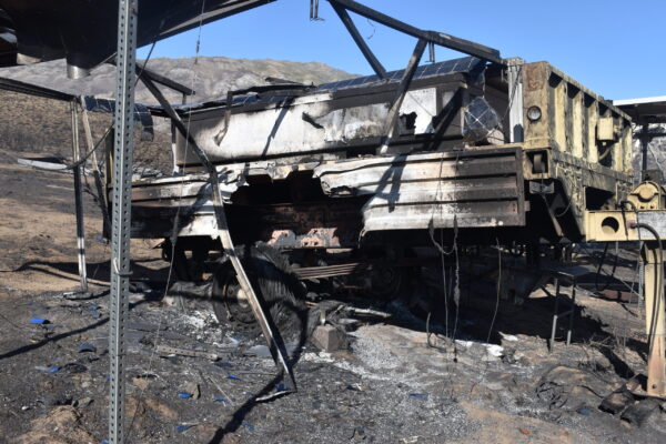
In the wake of the fire, HDRFS team members are actively evaluating the extent of physical damage to the site’s experimental setups, computing framework, and sensor networks. Prior to the fire, the RRR2 site was equipped with autonomous power and communications infrastructure, specialized drone systems for digital ecology mapping, and a custom 4,000-pound mobile flux chamber designed to continuously monitor carbon exchange along a 300-meter track.
The HDRFS team selected the RRR2 site specifically to capture the rich biodiversity of the Great Basin sagebrush ecosystem. Designed to study wildland fire as a continuum, the facility linked conditions before, during, and after a burn. This approach brought together interdisciplinary teams to examine ecology, hydrology, fire dynamics, emissions, and atmospheric aging under real-world conditions. Building on this framework, the team executed initial controlled burn experiments in November 2025 to collect baseline atmospheric and ecological data.
While the unexpected fire interrupted ongoing baseline experiments, it has also created a unique real-world opportunity. Research teams have already begun conducting field evaluations and post-fire data collection directly on-site, transitioning their work to capture immediate ecological, atmospheric, and hydrological responses following an active wildfire.
The HDRFS team will share further updates and visual assessments as site evaluations progress and early post-fire monitoring data becomes available.

 Acknowledgement: This material is based upon work supported by the National Science Foundation under Grant No. OIA- 2148788.