HDRFS grad students carry fire science forward
Students affiliated with the project are leading some of its most innovative experiments.
By Amanda Heidt
May 2026
Beyond its scientific objectives, one of the most important goals of the Harnessing the Data Revolution for Fire Science (HDRFS) project is training the next generation of fire scientists. Today, HDRFS supports dozens of undergraduate and graduate students, many will go on to establish research groups of their own, ensuring that the project’s reach extends far beyond its five-year timeline.
Even as they continue to build and expand their knowledge, these early career scientists are already making valuable contributions across the project’s five research groups, including ecology, hydrology, fire processes, fire emissions and their atmospheric aging, and cyberinfrastructure innovations.
The cyberinfrastructure innovations component in particular is broadly interested in how technologies developed for disciplines like agriculture can be repurposed to study the sagebrush ecosystem – a relatively understudied landscape that makes up one-third of the land mass of the lower 48 states. As wildfires increase in frequency and intensity, the interplay between sagebrush and fire is only growing.
Jehren Boehm, a third-year PhD at the University of Nevada, Reno, is currently building networks of off-the-shelf, open source soil moisture sensors first developed for industrial agriculture to allow scientists to remotely monitor conditions in sagebrush. The technology, called a Long Range Wide Area Network (LoRaWAN), isn’t new, Boehm says, but its application in arid landscapes is. “Soil moisture is difficult to track remotely, and large scale networks to do that haven’t really existed before now, especially in mountainous environments.”
A LoRaWAN system includes dozens, or even hundreds, of small, battery-powered sensors that are linked to a private network. Individually, the accuracy of a single sensor may not rival that of a research-grade one, but together, a suite of them can produce data with better resolution than other methods, such as satellite remote sensing, for far less money. “Having 24/7, near real-time monitoring capabilities, and being able to pull up that data and analyze it remotely with just an internet connection, is a pretty powerful tool,” he says.
Graduate student Jehren Boehm at the Red Rock Road field site during the controlled burns, November 2025. Credit: Scotty Strachan
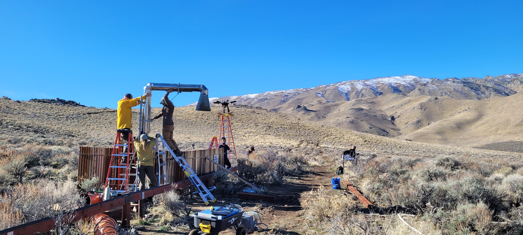
Boehm has already deployed LoRaWANs at the project’s Red Rock Road field site outside Reno, Nevada, as well as in areas near the towns of South Lake Tahoe and Truckee, California, with plans to expand into eastern Nevada. Collectively, the networks are helping Boehm answer the questions of how soil moisture differs between burned and unburned areas, as well as how soil recovers after a fire.
The Hydrology team (pictured) participated in a series of controlled burns at the Red Rock Road field site, November 2025. Credit: Gabrielle Boisrame
Conor Croskery, a research scientist at the Desert Research Institute in Reno who is associated with the Hydrology component, is similarly working to improve the utility of the data generated by soil moisture probes. The sensors are made by a small company for remote sensing applications but struggle to make accurate readings in the much hotter, drier soils of the desert. At extremely low water levels, the probes often fail to return a result at all. Croskery is helping to make better use of the raw data coming from the sensors by developing calibrations specific to the Red Rock Road field site and temperature corrections that smooth some of the variability in the measurements.
His project also looks at how fires affect soil’s ability to absorb water. A longstanding assumption in fire science is that burns make soil more water repellent, a quality known as hydrophobicity. But much of the research underpinning that assumption has been done in forested systems after wildfires have already happened. It’s not as clear how sagebrush systems respond, and getting the data to answer that question is hard. “Because you never know where a fire is going to be, it’s rare to have studies where you have measurements from before and after,” Croskery says, adding that the HDRFS has exactly that after a set of controlled burns last fall at the project’s field site. “Because of this, we can challenge and validate some of these ideas about soil hydrophobicity in our own system.”
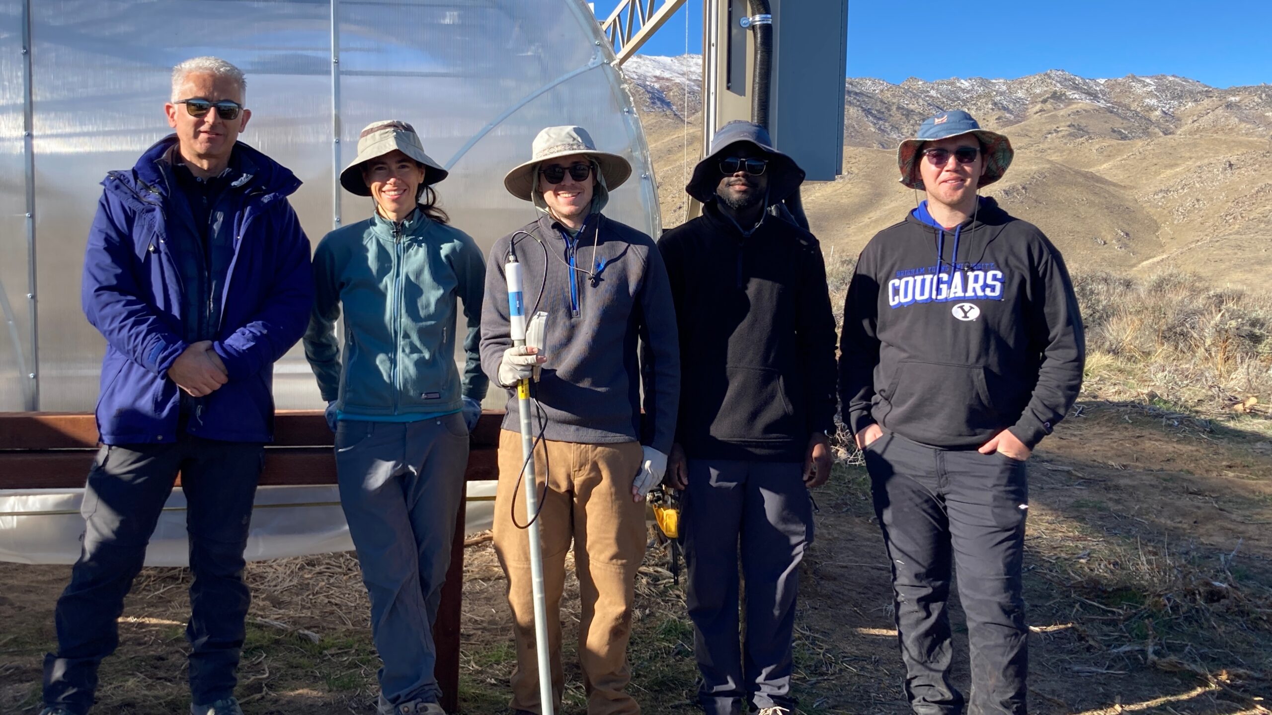
Graduate student Keegan Hammond at the Red Rock Road field site during the controlled burns, November 2025. Credit: A.L
Keegan Hammond, a third-year PhD student at the University of Nevada, Las Vegas, will use some of Boehm and Croskery’s moisture data to complement his own study of soil nutrients, and how the amount and composition of organic material in sagebrush soils changes on the microscale. “Rather than looking at changes at a landscape level, I want to get down to the level of below shrubs, in between shrubs, and then where invasive grasses are,” he says.
This latter point is particularly important, as sagebrush can be outcompeted by invasive species like cheatgrass. Cheatgrass doesn’t support the same diverse plant community that sagebrush does, and it seems likely that cheatgrass-dominated areas will have a poorer soil nutrient profile. Prior to the controlled burn at the project field site, Hammond spent a year collecting valuable data on plant cover and the amount of organic material and nutrients present in the soil. After the burn, he went back to sample the burned soil from the same microsites.
“Now we can see how those [soil] factors changed after the burn and what that means for recovery,” he says. Given the dry conditions the West has experienced this year, Hammond expects to see cheatgrass explode. “A shrub seedling really needs soil moisture to get their roots down further, but cheatgrass doesn’t. So I expect cheatgrass to really take off, and hopefully we’ll be in a good place to say something about what that means for the landscape so that land managers can make better decisions around recovery.”
The controlled burn at the Red Rock site offered opportunities for the entire HDRFS team to test longstanding questions. Bianca Martínez, a third-year PhD student at the Desert Research Institute in Reno associated with the Fire Emissions and Atmospheric Aging component, says there’s a critical lack of information about the types of pollutants sagebrush ecosystems produce. Do these emissions change based on what’s burning for example, or how hot the flames get?
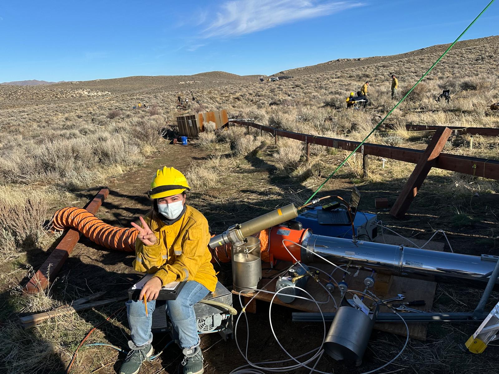
Graduate student Bianca Martinez at the Red Rock Road field site during the controlled burns, November 2025. (Credit: Vera Samburova)
Martínez first began probing these questions in lab experiments, where the team carried out burns of sagebrush, rabbitbrush, horsebrush, and bitterbrush on a much smaller scale. Those trials have allowed them to build a more thorough understanding of the types of compounds emitted by various plants when burning or smoldering, including secondary products produced as smoke ages. While the group is characterizing a long list of chemical compounds, Martínez says the most significant are species like carbon dioxide, organic carbon, particulate matter, and other carcinogens that contribute to climate change, air quality, and human health impacts.
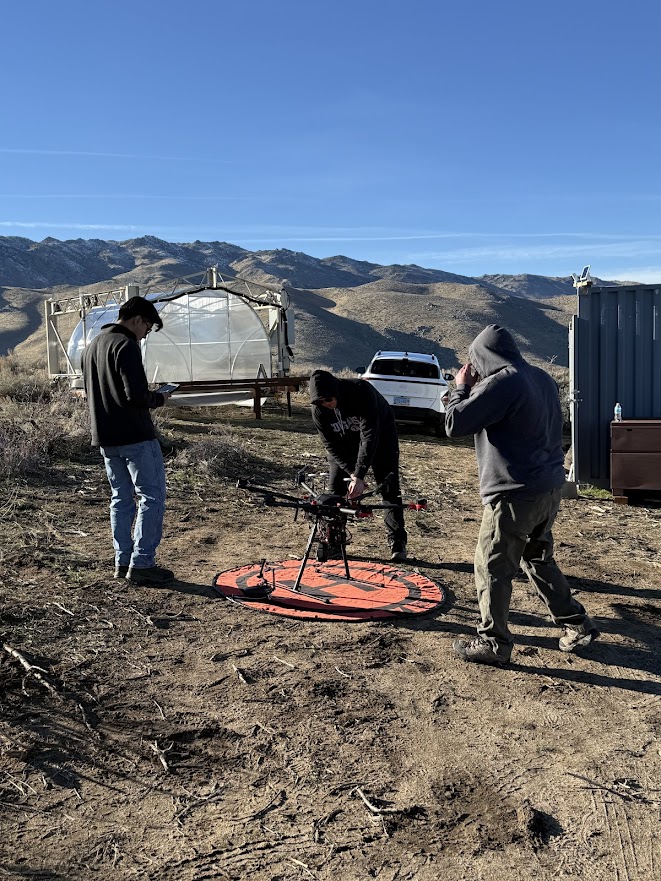
During the controlled burn, Martínez says the group had about a dozen sampling apparatuses deployed at the same time, including some attached to drones. The researchers collected samples from just near the flames, but also from about 45 meters above, so they could see how the chemical composition of the smoke changes with time and distance.
After the controlled nature of the lab-based burns, getting into the field to see a wildfire in action has been exciting, Martínez says. “In the lab, if we’re studying sagebrush, we’re looking only at sagebrush, and so you do miss out on some of the complexity of a natural system. But out here, things become more complicated very quickly, which is a research challenge but also a fun one.”